 |
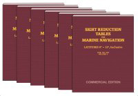
SIGHT REDUCTION TABLES FOR
MARINE NAVIGATION
Pub. No. 229 (HO-229)
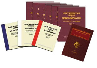
This is the standard set of tables designed for marine navigation. Although there are 6 volumes in a set, only those
volumes covering the latitudes anticipated need be purchased. These are permanent books that do not go out of date. The
latitudes listed for the Volumes work for either northern or southern hemisphere.
These as Commercial Editions reproduced from the official Government electronic files. They are economical, and sized
at 90% of the originals. They have soft instead of hard covers and their smaller size of 8.5 x 11 inches is easier to carry and store.
Weight 2.1 lbs each. $29.95 per volume.
 |
|
|
|
|
|
Vol. 1
Lat 0-15 |
Vol. 2
Lat 15-30 |
Vol. 3
Lat 30-45 |
Vol. 4
Lat 45-60 |
Vol. 5
Lat 60-75 |
Vol. 6
Lat 75-90 |
|
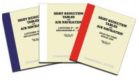 |
SIGHT REDUCTION TABLES FOR
AIR NAVIGATION
Pub. No. 249 (HO-249)
These tables were originally designed for air navigation, but they have become popular with sailors. Vol 2 and Vol 3
provide conventional sight reduction data, but Vol. 1 offers a faster more direct way to sight reduce stars. Many choose to have
Vol 1 for star sight prediction, even if they user other methods for the reduction, because it shows the best 3 stars to use in any
setting. Unlike Vol 2 and 3, which are permanent publications, Vol 1 is published every 5 years, labeled by the Epoch year, with the data being valid for the 2 years before and after the Epoch year.
Vol 2 and Vol 3 presented here are commercial reproductions of the official government files. Vol 1 is no longer produced by the US government, but commercial companies have taken on this production on their own. The page sizes are 10% smaller than the government editions, but notably less expensive. They have soft instead
of hard covers; they are 8.5" x 11", about 1" thick. Shipping weight is 2.1 lbs. $29.95 per volume.
|
|
|
Vol. 1
Selected Stars, Epoch 2020 |
Vol. 2
Latitudes 0°-40° Declinations 0°-29° |
Vol. 3
Latitudes 39°-89° Declinations 0°-29° |
|
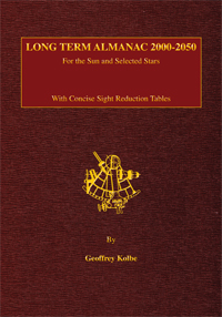 |
LONG TERM ALMANAC with NAO SIGHT REDUCTION TABLES
Nautical almanac data for the sun and selected stars valid until 2050, plus easy to use, concise sight reduction and
altitude correction tables. Plus work forms to make the process even easier. A concise one-book solution for celestial
navigation.
All the information you need for
• Finding your position from timed sextant sights
• Checking your compass by celestial bearings
• Computing great circle routes to your destination
Read More
Item 1882, $29.95 |