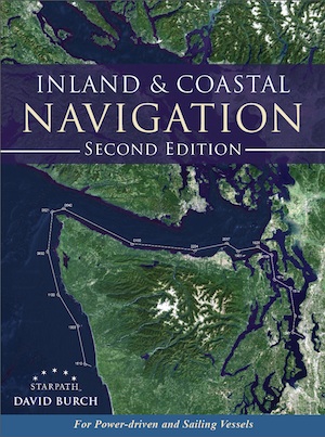
Inland and Coastal Navigation, 2nd Edition
By David Burch
ISBN 9780914025405
The textbook used in our
online and home study inland &
coastal nav course.
Paperback, 228 pages, 8.25" x 11", many illustrations,
(B&W, ebook editions have color),
Starpath Publications, 2014.
$39.00 ...item# 1985


|
View back cover.
|
|
Hardcover option available, $49.00 Click order link above to pick cover style. (Please note hardcover ships from a different location, and can sometimes take a little longer to ship.)
A thorough, easy-to-read treatment of both traditional and modern
small-craft navigation
This book is an updated and expanded edition of a text that has been used in navigation courses for 30 years. It covers practical
small-craft navigation (sail, power, or paddle), starting from the basics and ending with all that is needed to navigate safely and
efficiently on inland and coastal waters in all weather conditions. It is for beginners, starting from scratch, or for more seasoned
mariners who wish to expand their skills.
Topics include:
- Charts, Chart Reading, and Chart Plotting
- Instruments and Logbook Procedures
- Compass Use
- Piloting and Dead Reckoning
- Lights and Buoyage
- Tides and Currents
- Rules of the Road
- GPS and other Electronic Aids
The GPS tells us where we are and how fast we are moving in what direction, but it can never tell us the safest, most efficient route
to our destination. That fundamental task requires the basic navigation skills taught in this book, which we can use as well to
check the GPS underway, and then be prepared to navigate without the GPS if we need to. The hallmark of good seamanship is to
look ahead and be prepared..
The text covers not only the long tested traditional methods of navigation but also the efficient use of the latest technology in
electronic navigation and charting, including the recent NOAA announcement that they are switching to all print-on-demand
chart distribution.
Preface to the first edition
This book has been used for many years in classroom courses on small-craft navigation. It is equally applicable to
power or sailing vessels, kayaks or ships. The fundamental principles of marine navigation are the same to all, just as the Rules of
the Road apply to all vessels. The subject matter is described as small-craft navigation simply because we cover techniques and
routes that do not apply to large ships.
These days GPS is the mainstay of the navigation of any vessel, but it is both legally and practically not prudent to rely on just
this one source for navigation. Furthermore, the GPS cannot tell you the safest, most efficient route from where you are to where
you want to go. That you must decide yourself, taking into account the lay of the charted waterway, the depth of the water, the
wind, currents, sea state and visibility, the Navigation Rules, the time of day, the performance of your vessel, the crew on board,
and more. In short, choosing the best route takes the knowledge presented in this book.
Another value of this background in the traditional methods of hands-on navigation is the ability it then gives you to easily
spot check the GPS as you proceed. These position checks, along with good logbook and plotting procedures, will keep you on top
of the navigation at all times. Not only does the continuous process of GPS checking assure your safety, it keeps you in tune with
your environment. With this process you will know the names of landmarks around you, and you can identify features on the
distant horizon, and you know who has the right of way as you approach another vessel, and you know ahead of time that the
current will start setting you strongly to the right, and so on. The GPS cannot answer these things; you must rely on your
knowledge.
A thorough background in navigation fundamentals will also make your time on the water more enjoyable as it removes
unnecessary anxiety, and adds another dimension to your sport. You then remain in command and are not dependent on
electronics. Modern marine electronics are generally very dependable, but they are not guaranteed. The hallmark of good
seamanship is to look ahead and be prepared.
|
Preface to the second
edition
The second edition has been fully updated to include new resources now available, as well as changes in terminology
and even such basics as the types of nautical charts we now use–or will very shortly. The important new role of mobile devices
and electronic charting systems in general are addressed as well as ways to keep up to date with anticipated developments.
We have also taken the opportunity to readdress the main topics of traditional navigation throughout the book with a new
outlook in some cases. Contact information for the several federal agencies we count on for navigation data were updated, and we
have established an online link for further updates, as they will certainly change again.
There have also been changes in terminology over this period related to electronic navigation. The technology of typical
marine and handheld GPS receivers has improved over the past several years, but the risks of relying on GPS alone have not
changed.
For our powerboater and paddler readers, please do not be distracted by our use of the word "sailing." We use it in its basic
maritime sense of any vessel underway–as when the Navigation Rules refer to Steering and Sailing Rules, or as standard navigation
references are called Sailing Directions. When matters specific to sailboats are addressed, we refer to when under sail. This book
does contain information specific to navigation under sail, but the vast majority of the content applies to "any description of
watercraft used for transportation on the water."
We have also redone the Glossary completely, adding the terms to the end of the chapters in which they first appear. This
should facilitate both home study and classroom use.
Contact with the author, further resources, and news related to the text can be found at starpath.com/navbook. Comments and suggestions are always
appreciated. |
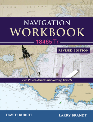
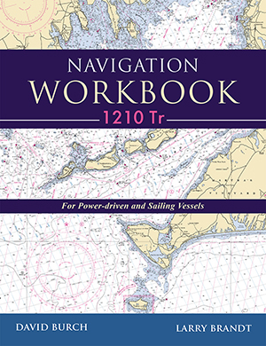
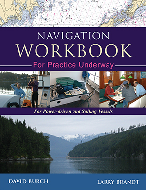
Turn your textbook into a home study course. See related Navigation Workbooks with practice problems and answers:
|