 |
 |
|||||
For use underway or when planning passages in the future
|
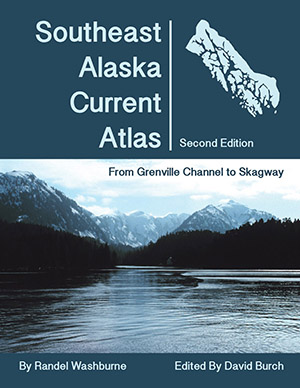
Southeast Alaska Current Atlas by Randel Washburne
ISBN 9780914025542
$29.00 ...item# 5198p
|
 |
|
The charts in this atlas show scaled arrows marking current speeds and directions at each of the official stations at sequential hours.
Use slack times and maximum current speeds at Wrangell Narrows from the NOAA Tidal Current Tables to select the appropriate chart for specific dates and times. An ideal resource for planning routes throughout Southeast Alaskan waters using sequential charts to predict how the current flow over large regions changes with time. This book requires use of the latest current data for Wrangell Narrows and, in Selected Channels Section, Sergius Narrows. These can be downloaded from tidesandcurrents.noaa.gov or get latest tables here (if our links are outdated, let us know and we will fix them): Wrangell Narrows Current Tables (Use Station ID SEA0103 Depth: 4 feet) and Sergius Narrows Current Tables (Use station ID SEA0202 Depth: 18 feet). Note that the Current Atlas can be more informative than the official current tables alone whenever the maximum current flow in the immediate region is not at the location of the official station. You can spot these cases in the Coast Pilot that might report currents in a particular pass of 2 or 3 kts, whereas the nearest station with that same name shows only 1 or 2 kts. This comes about because the waterway is narrower some distance away from the official reporting station. The Current Atlas takes this Coast Pilot guidance into account when applicable.
Video Introduction to the use of the Current Atlas. |
|
