 |
 |
 |
||||
The best source of tidal current information for
San Juan Islands, S. Strait of Georgia, and E. Juan de Fuca Strait
|
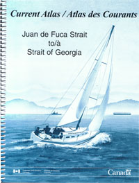
Canadian Current Atlas
Published by the Canadian Hydrographic Office. 8.5" x 11", coil bound, 212 pages. $29.00 ...item# 1806
|
 |
|
Download Canadian Current Atlas

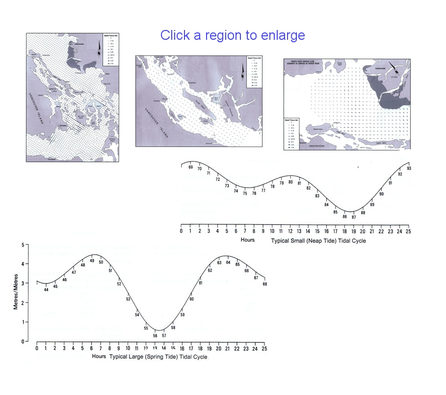
This book presents pages of current maps, with each page representing a specific hour of the current cycle. Graphs like those shown below are presented for the regions shown. The intended way that you decide which page applies to which chart, is to use the tide height at Atkinson Point on the mouth of the Fraser River approaching Vancouver (available online or in separate Canadian publications), which you then compare to curves like those shown above. The curve then tells you which page in the Current Atlas applies. There is, however, a far better way to do this that requires a separate free publication from Emanuel Borsboom. His tables tell you which page to turn to for each hour of the year. It makes the use of the Atlas much faster and more precise as it relies on tested algorithms to be sure you are in the right cycle. There are some inconsistencies in the method of the Atlas itself, and indeed some conflicts between the Atlas method and the Borsboom selections, but these will generally be cases where the data are not different. You can download pdfs for annual indexes up to 2020. And now as of May 2016 there is another free online solution from our neighbor Herb Munson. It offers some fine tuning on the values, and a different presentation. It could be instructive to compare the page predictions for specific dates you have in mind. The value of this approach of using a separate table index can be appreciated in that there was for more than 20 years a set of special tables published annually that did this called Washburne's Tables. Randy Washburne stopped making these several years ago, and now there is this public solution. A practical note. Keep in mind that the current data in the Atlas are computer model output, not current-gauge data like those used to seed the actual Current Tables. This model data are ideal for figuring routes and estimating transit times throughout the regions covered. There is no better way to do that. But if you care to know the precise times and speeds at a specific narrow pass, it is best to refer to the government (US or Canada) Current Tables themselves, which are online or available at numerous outlets. You can get good estimates of peak times and speeds for channels and narrow passes from the Atlas, but for precise values at narrow constrictions it is best to check the primary data.
For currents in Puget Sound, see Tidal Currents of Puget Sound. Use of current charts underway
|
|