Background and References for Electronic Chart Navigation
Online Courses
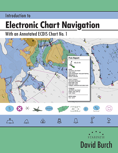
Textbooks
and be prepared for the end of paper charts as we know them
Electronic Chart Navigation Course
From basic echart reading to advanced route planning, to make your time on the water safer and more efficient.
This course introduces you to a new world of charting and navigation technology available in the versatile qtVlm software for Mac, PC, and mobile devices.
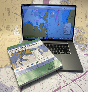
A practical, interactive course that will make your navigation safer and more efficient.
For power and sailing vessels, large and small, on inland waters or ocean crossings.
using both traditional and electronic charting
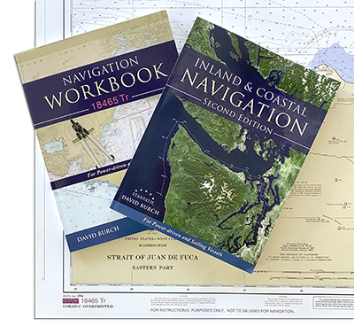
Inland & Coastal Navigation Course
For power and sailing vessels, large and small.
Learn traditional chart reading, values of special publications, dead reckoning, piloting, compass use, tides and currents, rules of the road, and more.
Guaranteed to make you time on the water safer and more enjoyable.