 |
 |
 |
||||
Learn and Master Modern Charts.
|
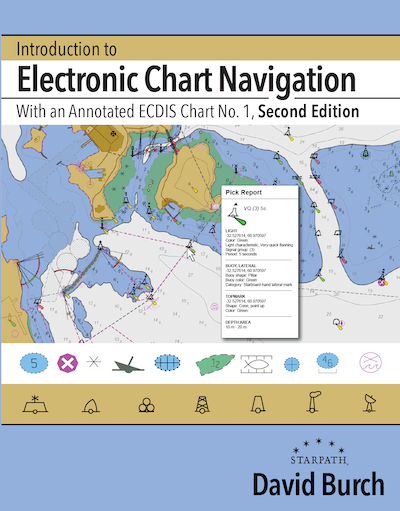
Introduction to Electronic Chart Navigation by David Burch
ISBN 9780914025764
Paperback, 154 pages, 8.5" x 11" $49.00 ...item# 1996
|
 |
|
|
A printed copy of this book is included with the materials for our online course on Electronic Chart Navigation
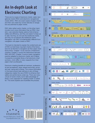
There are two types of electronic charts: raster navigational charts (RNC) and electronic navigational charts (ENC). RNC are exact copies of paper charts and their use underway comes naturally to navigators accustomed to paper charts. All traditional paper charts, however, and their RNC counterparts are being discontinued by NOAA. Many are gone already and all will be gone in a year or so. ENC (also called vector charts), on the other hand, include much more information than RNC; they allow user-selected display options that enhance safety and efficiency; and they are easier to keep up to date. But they do not look like traditional charts, and they do not behave like traditional charts. Navigation with ENC is fundamentally different from navigation with paper charts or RNC. Electronic charting benefits all mariners, professional and recreational, large vessels and small, power and sail, racing and cruising. The unique information in this book should help mariners in any of these categories master the use of ENC to enhance their safety and performance underway. There are many virtues of ENC, but to take advantage of these, a new approach to “reading charts” is called for. This book explains and illustrates the process.
From the Forward to the Second Edition On top of these changes, the USCG has just completed a call for comments on the proposed new ruling that vessels must have some electronic chart viewer on board to effectively read the official ENC. In other words, we are at the moment when ENC have gone from an optional substitute for paper charts to being a required method of navigation. With all of this going on, we can see why NOAA decided it was time to take on the daunting task of rescheming all of the US ENC. We have added an appendix on rescheming to cover the details of the changes and how we recognize them in conjunction with what we now call the legacy ENC that exist before rescheming. The full conversion will take some years to complete, so we will be using the legacy ENC layouts for quite a while to come. The interpretation and basic use of ENC does not change with the reschemed charts. When a topic comes up in the book that is affected by rescheming, we make note of the changes with a reference to the appendix. There is also a short appendix on the new NOAA custom chart program (NCC); another on Inland ENC, the US Army Corps of Engineers charts for the Western Rivers; and one emphasizing a recommended vessel icon set up for navigation in strong wind or current. An overview of the next generation ENC called S-100 has also been added as an appendix. The second primary factor that has led to updates in this edition was the preparation for and first experiences we have had with our new training course on Electronic Chart Navigation. Many sections throughout the book have been enhanced to reflect the practical experience we gained. Interactions with students first learning a new subject is an invaluable resource we are lucky to have. Topics with more extensive updates include: coverage of the Quality of data object and Zone of Confidence attributes; treatment of magnetic variation; use of safety contour and safety depth; plus a new section on the use of encrypted S-63 charts with a specific example using the newly free ENC from New Zealand.
|
||

