
Support for
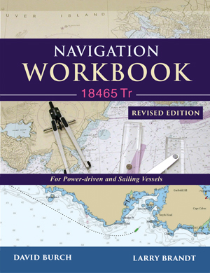
Navigation Workbook 18465 Tr
• Errata
• 2022_tide_and_current_data.pdf for use with new exercises.
• Several of the exercises in the Workbook have video solutions online at Course Video Index.
Several options for echart work on 18465 Tr
• First you need a program that runs echarts, called electronic chart system (ECS). A free ECS that works on both Mac and PC is called qtVlm, which is the one we use in our navigation and weather courses. Another option is OpenCPN, also free for Mac and PC.
Popular commercial PC versions include: Coastal Explorer from Rose Point Navigation and the TimeZero products from Nobeltec or MaxSea; racing sailors often use Expedition from Expedition Marine.
• With a working ECS you can then download the 18465 Tr as an RNC in standard NOAA BSB format here: 18465TR.zip
• An alternative way to do essentially all of the echart plotting exercises without a standalone echart program is to use Google Earth. For this application we have made a Google Earth kmz file that you can download here: 18465Tr.kmz. Just drag this file onto the open Google Earth window, and then use the line and path tools for headings and distances and read Lat-Lon off the scales. Here is a video that illustrates the process.
• The above all refer to using the raster navigation charts (RNC), which are direct copies of the printed charts. We have a separate course on the use of the vector versions called electronic navigational charts (ENC)—however there is not, nor sensibly could be, any ENC equivalent of the 1998 training chart 18465 Tr.
Other Aids to those using this Navigation Workbook
• NCC_Mats-Mats_to_Pt_Hudson.pdf. An example of a NOAA Custom Chart. The PDF can be printed for a paper chart to work exercise 9-13. See printing notes and related NCC resources at starpath.com/NCC.
• Plotting tools described and available. The basics are needed for the course, but there are many options and sources.
• See the resources listed on the support page (starpath.com/navbook) for our text Inland and Coastal Navigation
• Instructions on the use of NOAA tides and currents page
• Purchase 18465 Tr printed chart
• Online course on Inland and Coastal Navigation
• Read discussion of navigation problems You need a webcard to participate, but anyone can read this public discussion. Students use a different discussion forum, which is more detailed.
Remember you can get all US RNC and ENC at no charge from NOAA at this shortcut link
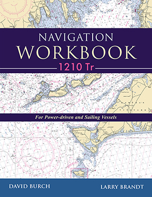
See related Navigation Workbooks with practice problems and answers:
 |
 |
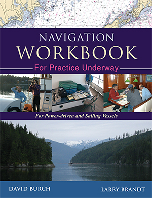 |
| Using Chart 18465 Tr | Using Chart 1210 Tr | Practice Underway |